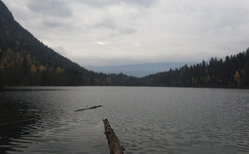
This small fishing lake, tucked into the hills, is a pleasant spot to while away a few hours or days. Although there is not a boat launch, the road goes close enough to the lake that a canoe can easily be put in. There is a choice of grassy or treed campsites.
Driving Directions:Access: From the Needles Rest Area at the ferry terminus, travel west on Highway 6 for 14.4 km.Just before the highway crosses Inonoaklin Creek, turn right onto a 2 wheel drive gravel road. Follow this road through the gravel pit onto a rough dirt road. After crossing a cattle guard at 1.5 km the road forks. Take the right fork, marked with a brown 4×4 post with white lettering, signed “Snowshoe Lake”. Continue along this road for another 3 km to the recreation site. Note: this road is suitable for high clearance 2 wheel drive vehicles in dry weather. Alternate Access: From the Needles Rest Area at the ferry terminus, travel west on Highway 6 for 4.4 km. Turn right onto the “Whatshan Lake Road”. At the junction with the Barnes Creek road, turn left and cross over the Whatshan River. Just past the power station, which is at the “7 km” marker on the “Barnes Creek Forest Service Road”, turn left onto the “Snowshoe Lake Road”, which is marked with a white and red sign, nailed to a tree. Proceed 1.4 km. Turn left onto a road marked “Branch 1”. Proceed 1.5 km to just past a “10 km” yellow and black marker on the right hand side of the road. Turn right onto a narrow, dirt 2 wheel drive road that follows the power lines for 2 km to Snowshoe Lake. Note: the last 1.6 km is very steep, narrow and rutted, suitable for high clearance 2 wheel drive vehicles in dry weather.
(source: rec sites and trails)
