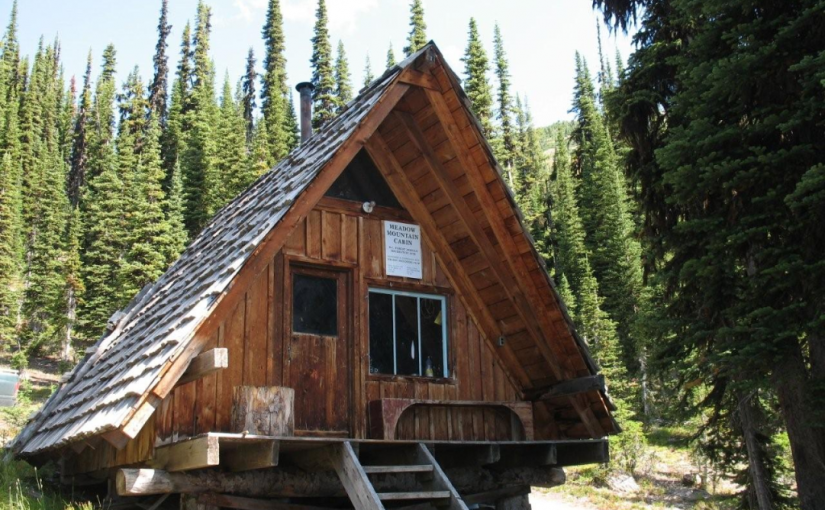
Meadow Mountain Cabin

The Meadow Mountain Cabin is managed under partnership agreement by the Nelson Sno-Goers and bookings can be made by going to http://nelsonsno-goers.webs.com/apps/links/ There is a $10 fee per person for overnight use of the cabin. Popular in the spring as a snowmobiling destination. Restrictions apply on snowmobiling in this area as there is a catskiing operation in the vicinity. More Information.

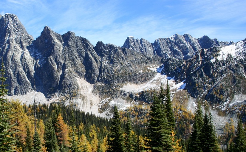
Also great summer hiking opportunities in the area with incredible views of the MtCooperGoat Range. Paragliding from Meadow Mountain and top-landing in spring and summer incredible as well
Driving Directions:From the community of Meadow Creek, take the Meadow Creek road north for 3.1 km until you reach a fork in the road. Take the right fork onto the Meadow Mountain Forest Service Road, cross a bridge and keep to the left at all intersections until you reach kilometre 9.4. At this point take a right, and then a left at 10.3 km. For the remainder of the drive, keep right at all intersections . It’s a long drive. Meadow MountainĀ is at 28.1 km and the cabinĀ is at 29.0 km. A high clearance vehicle is necessary , and 4wd is recommended as there are steep rough sections on the road.
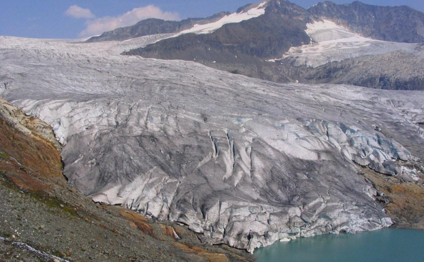
 

MacBeth Icefield

This is a trail providing access to an alpine plateau with spectacular views of the surrounding peaks. The sensitive alpine plateau is intended for day-use only. Primitive campsites are provided at the end of the trail below the plateau. This area provides good hiking , camping, excellent viewing, and nature study opportunities.

Driving Directions: From Cooper Creek, head north on the Duncan River forest service road for 10.0 km to the Glacier Creek road. Follow the main Glacier Creek road for 37.4 km(keep right at the 23.4 km junction) to a fork in the road. Take this left fork for 5.5 km (keeping right at the 1.7 km junction). The trailhead is on the left. The roads are suitable for 2wd high clearance vehicles.

( source: rec sites and trails )

Monica Meadows

This is a trail providing access to an alpine plateau with spectacular views of the surrounding peaks. The sensitive alpine plateau is intended for day-use only. Primitive campsites are provided at the end of the trail below the plateau. This area provides good hiking , camping, excellent viewing, and nature study opportunities.

Driving Directions: From Cooper Creek, head north on the Duncan River forest service road for 10.0 km to the Glacier Creek road. Follow the main Glacier Creek road for 37.4 km(keep right at the 23.4 km junction) to a fork in the road. Take this left fork for 5.5 km (keeping right at the 1.7 km junction). The trailhead is on the left. The roads are suitable for 2wd high clearance vehicles.