BlackJack Cross Country Ski Club

Black Jack is considered one of the premier cross-country ski facilities in western Canada due to the excellent grooming, variety of trails, abundant reliable snowfall, and convenience of our proximity to Rossland. Blackjack offers Approx 40km of expertly groomed trails for both classic skiing and skate skiing, 2.5km lit night-skiing loop, A terrain park for kids, A large trailhead cabin, Two trailside warming cabins, A doggy loop , A biathlon range, and Beautiful trails and beautiful views. The ski season usually starts in late November and goes well into April. Visit www.skiblackjack.ca for full details on fees.

Driving Directions: From Rossland , take highway 3B North towards Red Mountain. 500m past Red Mountain, turn right on Mann Road and follow the signs for less than 1km to trailhead chalet and parking lot.

Nelson Nordic Ski Club

Cross-country ski area run by the Nelson Nordic Ski Club. Memberships or daily fees are required to use the network of trails, including the Clearwater and Euphrates trails.

Driving Directions: From Nelson, 10 KM South on Hwy 6. Park at either the parking lot across the road from the Whitewater Ski Area access road or continue another 300m on left for the Clearwater/Euphrates trails.

Sasquatch Lake Rec Site

Sasquatch Lake Recreation Site offers attractive campsites big enough for group gatherings. The semi-open site is spacious enough for small motor homes and trailers. This site is popular with huckleberry pickers and picnickers. A rock slide along the lake shore gives access to the warm water, making this a popular swimming hole.

Driving Directions:Travelling north on Highway 6 from Appledale, watch for the “Kokanee Glacier Lemon Creek” Provincial Park signs. Just before the bridge over Lemon Creek, follow the signs and turn right onto a good 2 wheel drive gravel road. Follow the “Kokanee Glacier Park” signs on the “Lemon Creek Forest Service Road”. At about 14.5 km turn right onto a dirt road signed “Sasquatch/6 Mile Lakes”. A half kilometre up this road, turn right at the sign to the Sasquatch Lake Recreation Site.

Six Mile Lakes

Six Miles Lake site is a series of three connected sub-alpine lakes. A rustic 3.0 km nature trail on the west side of the lake offers views of the lakes and a pleasant walk through the forest. The trail head is just south of the recreation site on the west side of the road. The end of the trail rejoins the road past the furthest lake, and you can walk back along the road to the trailhead. This is the headwaters of a domestic – use watershed. Please respect the lakes and creeks.

Driving Directions:Travel north from Nelson on highway #3A for 8.0 km to Six Mile Lakes road. Follow Six Miles Lakes road for 10.0 km to a fork in the road. Then take the right fork for 3.0 km to the recreation site . The road is suitable for a 2wd vehicles, although the last 3.0 km are very rough in sections.

(source: Recreation Sites and Trails )

In the winter the six mile lakes circuit is popular with snowmobilers connecting the road across to Lemon creek in the Slocan Valley. Nelson Snowgoers for more information

There are some ski touring destinations in the area as well.

Sproule Creek Trail

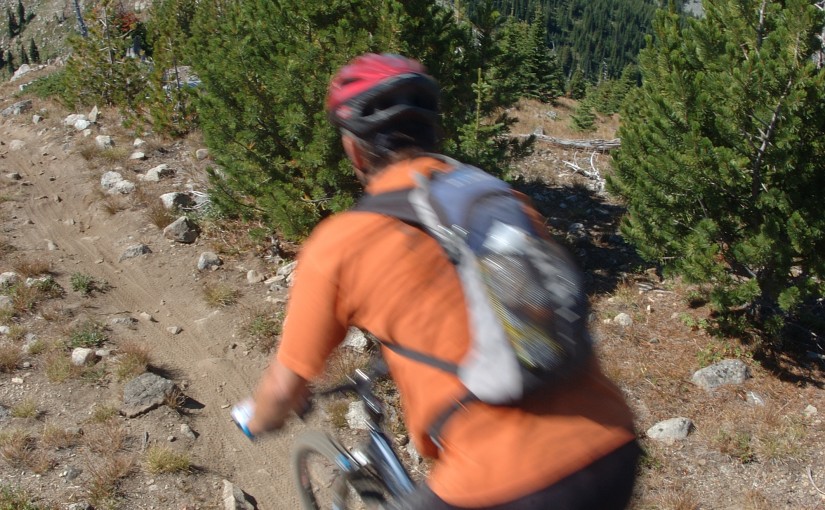
This trail follows an old wagon trail and railroad constructed by the A.G. Lambert Lumber Co. Ltd. between 1919 and 1930. The trail provides access to the old mill site and opportunities for ridge-top hiking. The Westside loop is a cross country ski loop. It is rough and not suitable for hiking or riding. The east fork trail is a short 1.5 km (one way) trail of moderate difficulty. The gentle slope of trail gives it an “easy” rating, although there are some rough sections. The trail is used by mountain bikers, horseback riders, hunters, cross-country skiers, and hikers.

Driving Directions:From the community of Nelson, head west along highway #3A for 11.3 km to Sproule Creek Road. Follow this road for 4.0 km to the parking lot. The trailhead is located approximately 100 m up a private drive on the west side of the creek. This road is suitable for 2wd vehicles.

(source: Rec Site and Trails )

Sunshine Bay Recreation Site

Sunshine Bay has a long history. Two kukuli across the road from the recreation site attest to occupation by First Nations people long before recorded history. The remains of a log cabin on the site is of more recent vintage. Sunshine Bay offers a crescent shaped, south facing beach and protected campsites under a pine stand. Nearby, the mouth of Sunshine Creek promises good fishing. The road past Sunshine Bay offers good hiking. When the water in the Lower Arrow Lake is down, beach combing is a relaxing past time. It is difficult to get a boat down to the water at Sunshine Bay, as the bank drops off abruptly. A flight of stairs goes from the campsite to the beach. A canoe, kayak or inflatable zodiac would be your best bet. The closest good boat launch is at the Renata turn-off, at 18.7 km.

Driving Directions:Just before the yellow gates in Syringa Creek Provincial Park, turn right onto the “Deer Park Forest Service Road”. Follow this narrow, good 2 wheel drive gravel road to the community of Deer Park. In Deer Park, turn right. There is a small “Renata” sign, pointing the way. Within a half kilometre, the road forks. Take the upper fork to the right, continuing along this road. At 18.7 km the road forks again. Left takes you to the lake shore, and the boat launch to Renata. Go right to continue on to Sunshine Bay. From here the road deteriorates, and a high clearance vehicle is recommended. At 25 km you pass through the old fruit growing community of Broadwater. At the junction in Broadwater, take the right fork onto the “Sunshine Creek Forest Service Road”. Continue along this road, staying right at the fork just before the 31 km sign, and passing over the Two Bit Creek bridge. The last 3 km descend steeply to Sunshine Bay Recreation Site at 34 km.
Old Glory Lookout

The Old Glory Trail is a ridge-hikers delight. The trail provides access to many kilometres of open easy ridge hiking with great views. The first section of this trail is a gentle grade that leads through a stand of large cedar and hemlock on the south side of Hanna Creek drainage and then enters an old cutblock. As the trail nears the end of the cutblock at 1.2 km the grade steepens and at times may be overgrown with alder. Hikers would be well advised to bring raingear for this section if it is wet. At 3.2 km the trail reaches a low saddle on the ridge that is called “Unnecessary Ridge” by locals. From here there are several unmanaged trails that join the main trail. Old Glory trail lies to the right, and is marked with a small sign. Turning up the ridge, the grade becomes gentler and the sub-alpine forest opens up to allow glimpse views to both sides of the ridge. The trail continues at a moderate to gentle grade, winding its way up the ridge and starting into an old burn at 4.5 km. At 6.5 km the trail reaches a junction with Plewman Trail. From here Old Glory Peak is 2.0 km. From here the trail user has the option of following Plewman Trail down the other side of the Hanna Creek drainage to the trailhead (4.5 km), or continuing on to Old Glory. The Forest Service fire lookout building perches at the very peak at an elevation 2376 m / 7795 ft. From this lofty perch 360 degree views of the surrounding areas reveal Goat Mountain and Big Sheep Creek drainage to the west, Mt. Plewman and Highway 3 to the north and east, the view back down Unnecessary Ridge, Mt. Kirkup, Grey Mountain and Granite Mountain to the east, and Esling Creek drainage to the south.

Driving Directions: From the Museum in Rossland follow the highway north for 10 km to the trailhead on the west (left) side of the highway. The trailhead can be hard to find. Look for a 4 x 4 sign post and a small grassy parking area. There is room for 2-3 vehicles at the trailhead itself, and more parking space across the highway.

( source: rec sites and trails ) – FRIENDS OF THE ROSSLAND RANGE

Wilson Creek Falls

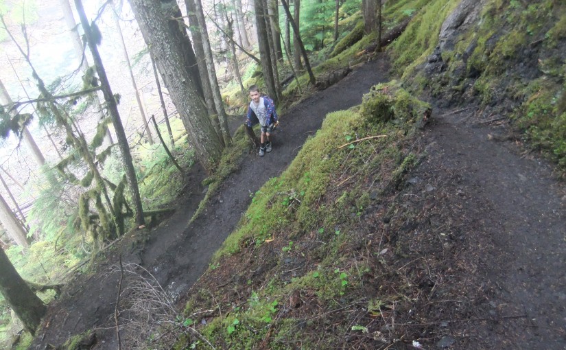
A steep hike down to a cool, mossy waterfall. Wilson Creek Falls is considered one of the most spectacular waterfalls in British Columbia, plunging 207 feet. The hike is 2.2 km round trip. Trail is fairly flat for first 500 m and then drops down to the base of the falls. Plan on about 3-4 hours return trip from highway turn-off.

Directions: Head 5.3 km north of New Denver on Highway 6. Turn east ( right ) on East Wilson Creek FSR 11.5 km ( rough gravel road ) and then turn right just before bridge over Wilson Creek at turnoff signed for Wilson Creek Falls. A 4X4 road climbs 1km to trailhead or high clearance 2wd in 2015.

Ripple Ridge Cabin

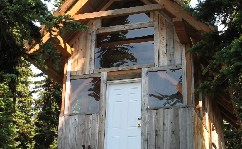
Very popular as a ski touring destination. Typically about one hour ski tour to the cabin with no avalanche danger. There are a few tours accessible from the cabin including Baldy Rocks, Lightening Strike and Ripple Peak/Twin Lakes and lots of yo-yo skiing in moderate terrain.

Site Description: The Ripple Ridge Cabin can be booked by going to www.rippleridge.ca There is a $10 fee per person for overnight use of the cabin. The cabin contains a wood stove, tables and benches, and a sleeping loft. It can sleep 6 comfortably, and 10 in a squeeze. Please note that no motorized vehicles are allowed on this road in the winter. A picnic table and fire ring were added in October 2010.

Driving Directions: From Salmo take Highways #6 and #3 southeast for 37 km to Stayleep pass at Bridal Lake. Park in the plowed area on the left side of the highway. From the junction of Highways #3 and #3A north of Creston take highway #3 northwest for 42.5 km to the pass at Bridal Lake. Park in the plowed area on the north side of the highway. From the parking area, cross the highway towards the south. The gravel road accessing the cabin begins immediately to the right of the Highway’s maintenance yard. Take this road 3.2 km to the top of the ridge where it levels off and before it drops into the next valley. Look for the trail into the cabins on the right at this point. The old cabin lies about 200 metres from the access road, and the new cabin about 100 metres further. high clearance 2WD required.

Winter Access: Park in the parking lots on the north side of the highway and cross the highway on the west side of the parking lot to access the summer road. Follow the trail up until it levels off and before it drops into the next valley. Look for the trail into the cabin on the right at this point.

MacBeth Icefield

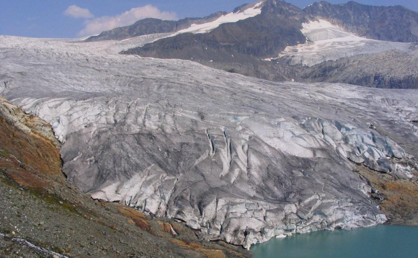
This is a trail providing access to an alpine plateau with spectacular views of the surrounding peaks. The sensitive alpine plateau is intended for day-use only. Primitive campsites are provided at the end of the trail below the plateau. This area provides good hiking , camping, excellent viewing, and nature study opportunities.

Driving Directions: From Cooper Creek, head north on the Duncan River forest service road for 10.0 km to the Glacier Creek road. Follow the main Glacier Creek road for 37.4 km(keep right at the 23.4 km junction) to a fork in the road. Take this left fork for 5.5 km (keeping right at the 1.7 km junction). The trailhead is on the left. The roads are suitable for 2wd high clearance vehicles.

( source: rec sites and trails )