Category: wilderness camping
Mt Gimli
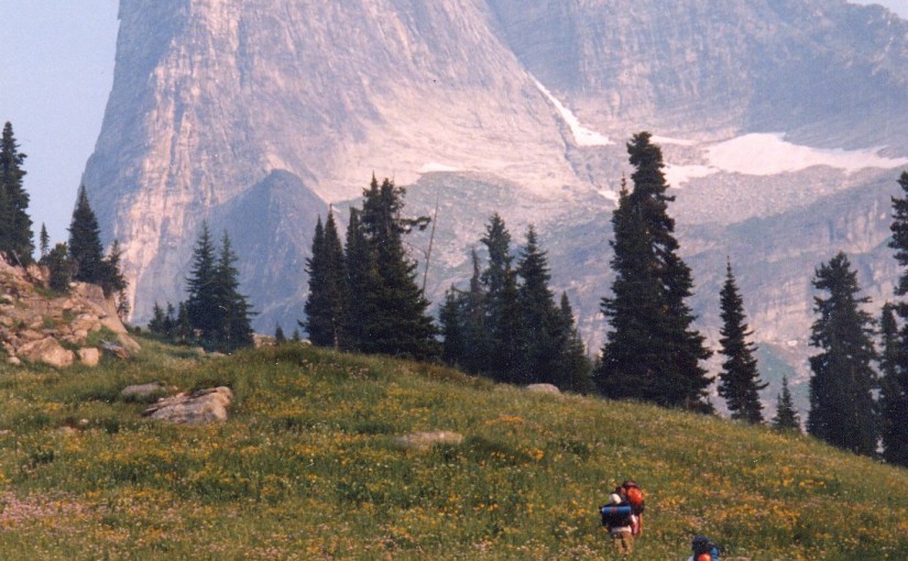
On the edge of the Valhalla Park Mt Gimli is a popular hiking and climbing destination as well as the entry point into the amazing Mulvey Basin.
The 5.10- SE Ridge of Mt Gimli is a 5 star classic multi pitch rock climbing route. The descent is the popular East Ridge which is also a very popular class 4 scramble.
Octopus Creek Rec Site
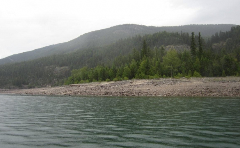
Octopus Creek flows into Lower Arrow Lake. The recreation site is located at the mouth of the creek in a crescent bay. Boaters find it a safe retreat for waiting out storms and sudden winds. During low water, there is an expansive sand and cobble stone beach. Kids can spend endless hours here playing in the water, and moving sand and rocks around. The water warms up later in the summer and is quite pleasant for swimming and board sailing. Arrow Lake is known for Kokanee fishing. However, if the fish are not biting, there is still lots to do at Octopus Creek. Hikers can hike up the creek searching for the natural hot springs. At low water there is miles of beach to walk.
Driving Directions:Due to private land issues this site has been changed to BOAT ACCESS ONLY
Fletcher Lake Rec Site
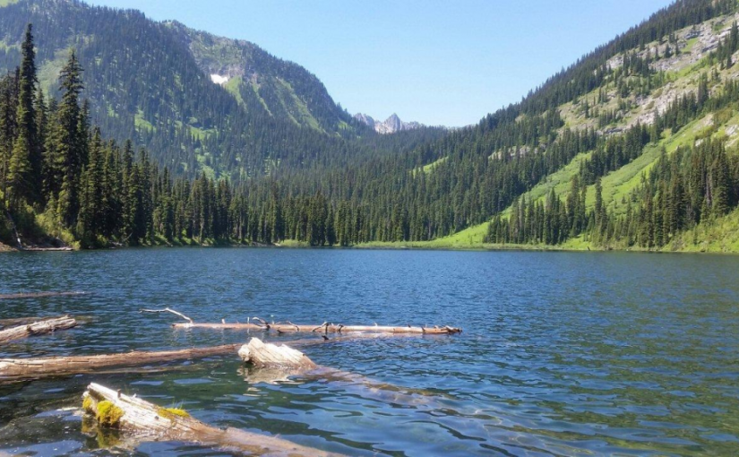
This is a steep rustic trail into an alpine lake area. The trail starts on a skid road in a cutblock, and winds its way through dense sub-alpine forest and creekside vegetation to the east end of the lake. The area is heavily used by grizzly bears and site users should take care to make noise when hiking. Hike in groups, and store food out of bear-reach and well away from campsites. The site provides good backcountry camping and fishing. Please pack “ALL” your garbage out with you so bears are not attracted to the area.
Driving Directions:From Balfour, drive 23.0 KM along highway 31 towards Kaslo, and turn left onto a dirt road (4.2 KM north of the Woodbury Creek Resort). Zero your odometer at the start of the Woodbury-Fletcher FSR. At 1.1 KM (the crest of the hill) turn right on to Fletcher Creek Road. At 2.8 KM take the left fork. At 3.7 KM bear right. At 7.3 Km stay left. At 11.5 go right and begin to drive though recent logging. Road is very rough from here (high clearance 4×4) with deep water bars. At 12.5 KM park at the old logging landing. From here walk a few hundred feet along an old de-activated road to find the trail head going off up to the left.
(source: rec sites and trails)


